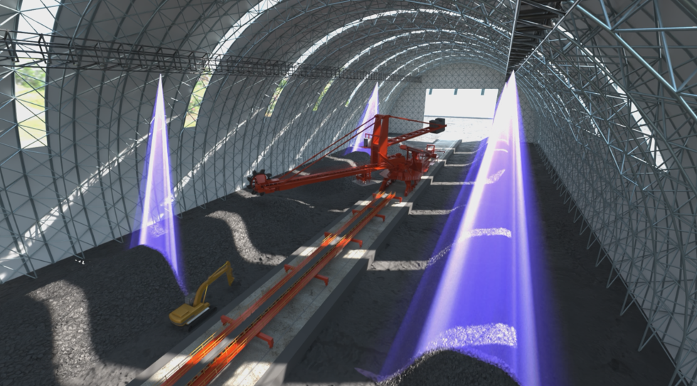
Based on high-precision LiDAR point clouds, it delivers sub-centimeter 3D measurement and modeling, providing an accurate spatial data foundation for industrial operations and intelligent decision-making.
Learn More >
Precision Sensing Equipment for Challenging Industrial Applications
Fine Resolution, Wide-Area Scanning, Capturing Every Detail

The Only Domestic Alternative LiDAR for Unmanned Port Container Automation
Designed for harsh environments in ports, steel mills, and coal yards: ultra-long range, centimeter precision, industrial protection

Outputs stable real-time ranging data with high accuracy, fast response, and repeatable positioning. Supports mainstream industrial fieldbuses with IP67 protection for harsh environments, widely used in precision positioning, anti-collision, stroke monitoring, and navigation speed measurement.

Fine imaging with built-in AI recognition algorithms, simultaneously outputting depth images, 3D point clouds, intensity maps, and confidence maps in a compact IP67-rated body

Omnidirectional scanning, long range, high precision, and dense point clouds for vehicle, airborne, and marine mobile platforms to accurately reconstruct 3D environments.

Lightweight 3D LiDAR
Precise, Flexible, Efficient Sensing
High-speed precision 3D point cloud acquisition with wide scan range, high positioning accuracy, and compact lightweight design

Integrated multi-line LiDAR and HD camera
Simultaneous 3D point cloud and HD video output
Wide-angle near-field, high protection rating, low power consumption

Integrated multi-line LiDAR and HD camera for laser-vision fusion sensing
Built-in edge computing chip and AI algorithms simultaneously output 3D point clouds and HD video for local real-time target recognition

Micron-Level 3D Inspection for Harsh Industrial Environments
High Z-axis accuracy, dense profile points, 10,000 fps ultra-fast acquisition, and built-in edge computing

Lightweight Airborne LiDAR Scanner for Aerial Surveying & Remote Sensing
Long-range detection, fine angular resolution, lightweight body, strong multi-echo capability, and high point density for UAV and airborne platforms

High-Speed High-Precision 2D Scanner for Industrial Precision Inspection
Powered by millimeter-level 3D sensing, collects dense point clouds to accurately capture subtle deformations, displacements, and defects on rail tracks, roadbeds, and auxiliary structures.
Based on high-precision LiDAR point clouds, it delivers sub-centimeter 3D measurement and modeling, providing an accurate spatial data foundation for industrial operations and intelligent decision-making.
Learn More >
Based on high-precision LiDAR point clouds, it delivers sub-centimeter 3D measurement and modeling, providing an accurate spatial data foundation for industrial operations and intelligent decision-making.
Learn More >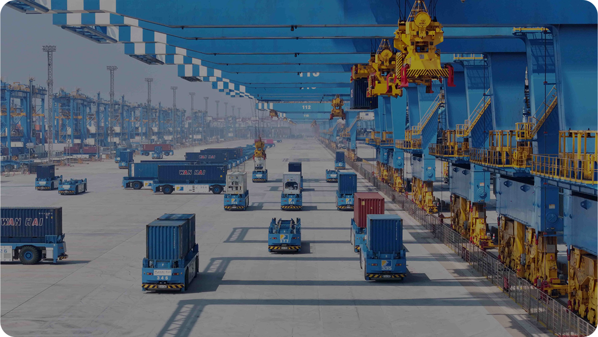
Leveraging high-precision positioning and dynamic sensing, it delivers reliable guidance and motion control for mobile equipment and robots, improving efficiency and safety in complex conditions.
Learn More >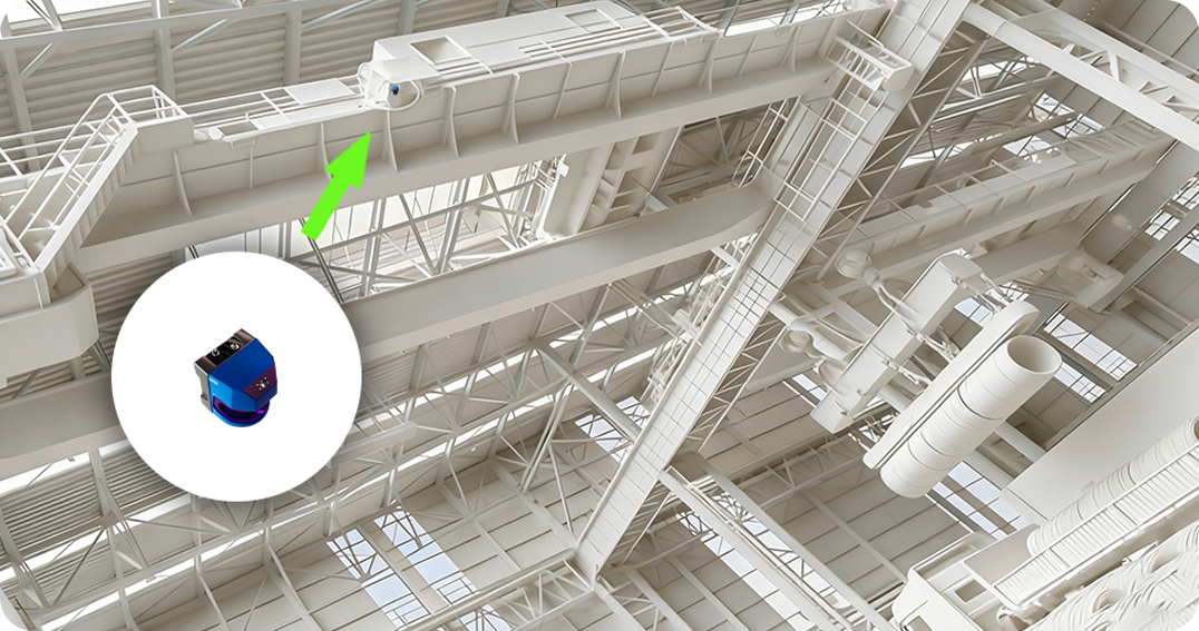
Built for human-machine mixed operations and high-risk areas, it provides real-time 3D sensing and collision warning as a perception foundation for on-site industrial safety.
Learn More >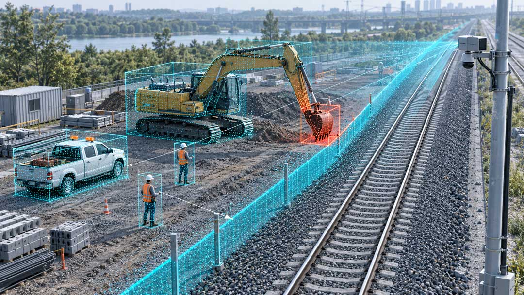
Through continuous 3D sensing and status recognition, it enables real-time monitoring of equipment and scenes, warns of anomalies, and supports intelligent O&M decisions.
Learn More >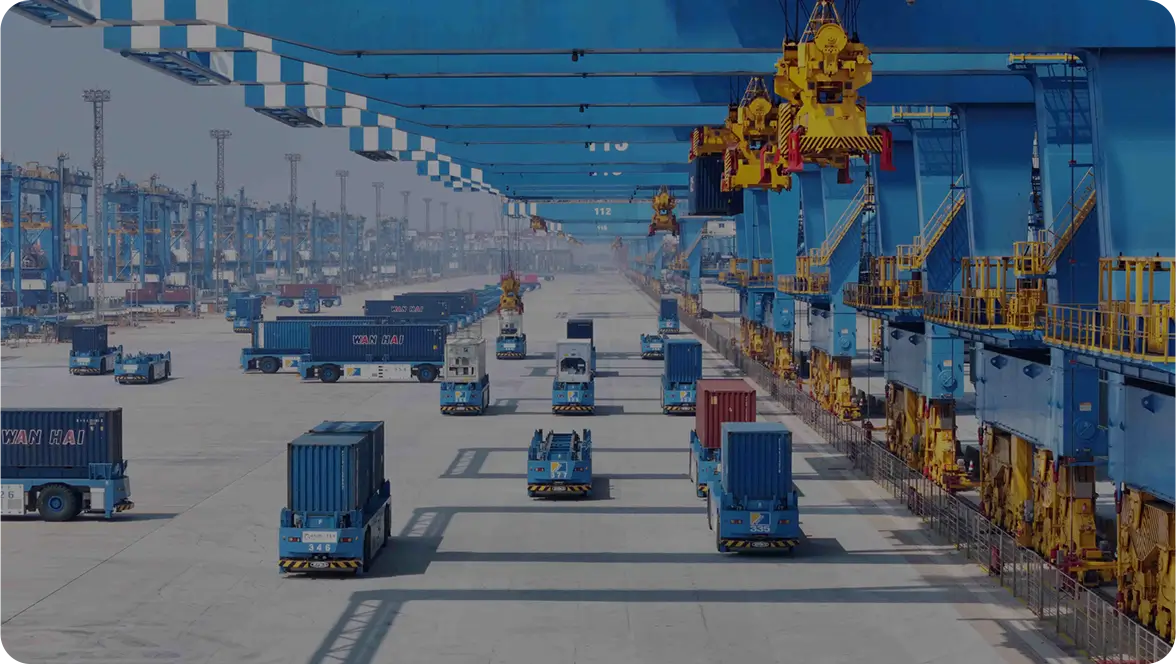
Built on high-precision LiDAR point cloud data to achieve 3D sensing and modeling of portal crane operating zones, providing an accurate spatial data foundation for smart port upgrades and dispatch.
Learn More >
Built on high-precision LiDAR point cloud data to achieve 3D sensing and modeling of portal crane operating zones, providing an accurate spatial data foundation for smart port upgrades and dispatch.
Learn More >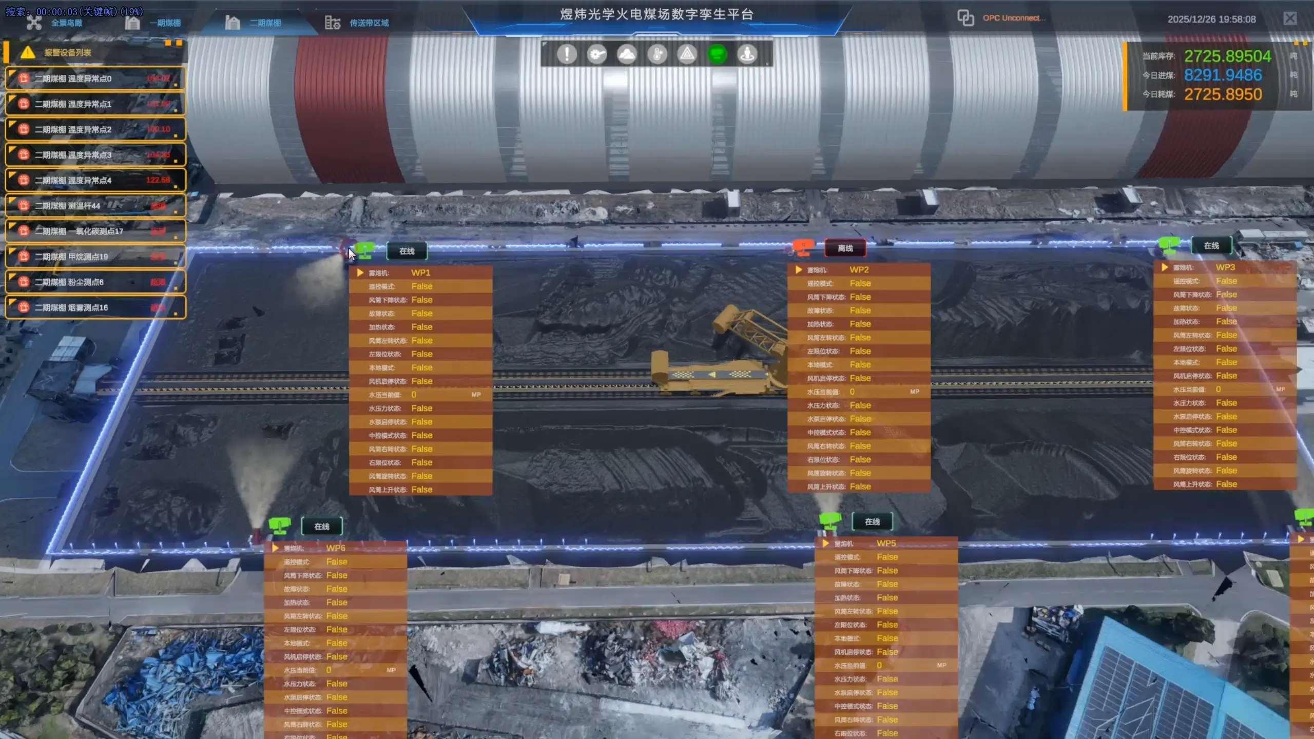
Uses 3D visualization and digital twin technology to support unified map-based coal yard management, enhancing digital operation capabilities for thermal power plants.
Learn More >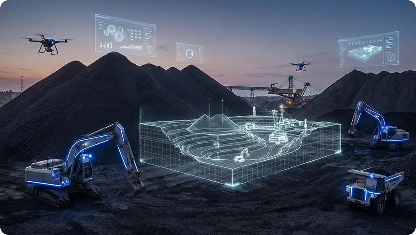
LiDAR 3D modeling and multi-source fusion enable accurate inventory and dynamic updates for dispatch and cost accounting, significantly reducing manual counts and errors.
Learn More >









The latest from Kyle Optics
View All